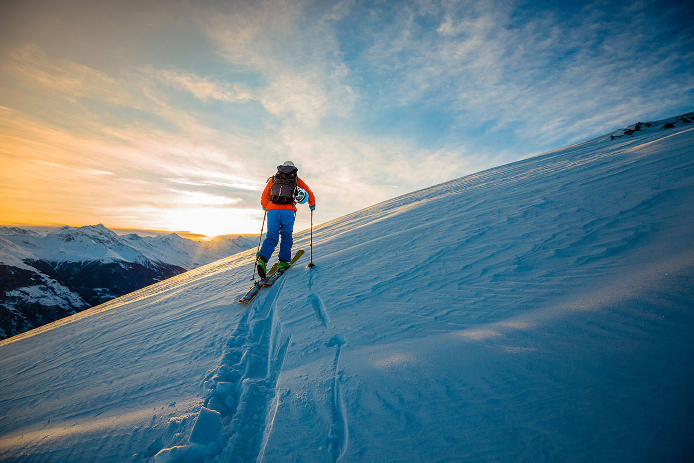
Accessible via the Komagatake Ropeway, Senjojiki in the Central Alps—at an elevation of 2,612 meters—is located in the alpine zone and is one of Japan’s premier spring skiing destinations. The majestic cirque formed during the Ice Age features rugged rock faces reminiscent of the European Alps and a silvery-white landscape that absorbs all surrounding noise; the entire area serves as a backcountry skiing zone.
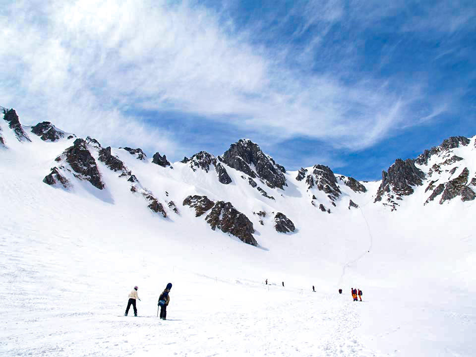
Location
Inside Senjojiki Cirque
Length
Approximately 250 meters
Maximum slope
25 degrees
Average slope
15 degrees
Composite slope
40% for beginners / 30% for intermediate learners / 30% for advanced learners
during that time
Mid-April to late May
Other


A course that descends from the highest peak in the Central Alps.
On a clear day, you can enjoy a sweeping panoramic view of the Northern Alps, Southern Alps, and the Yatsugatake Mountains from the summit. The course that descends the broad slopes of Nakadake and Komagatake toward Kurokawa features moderately steep sections up to around 2,500 meters; therefore, for those who are not confident in their skiing ability, we recommend the course that descends from Hoken Sanso toward Komagai Pond. For the return trip, ascend toward the Hoken Mountain Lodge, then ski down the slope toward Inamaedake and descend to Senjojiki. While there are various ski lines to choose from coming from the Inamaedake direction, you must select a course based on the slope’s gradient and snow conditions.
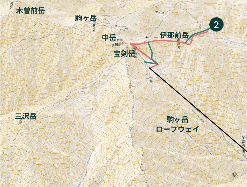
Kasen-zawa is a course with a moderate slope and width, suitable for both telemark and backcountry skiing. However, since the valley narrows around 2,450 meters, you’ll need to climb back up. On the way back, ski down the slope toward Mt. Inamae and descend to Senjojiki. While there are various routes to choose from when descending from the Mt. Inamae side, you must select a course based on the slope’s gradient and snow conditions. Additionally, the route toward Kurokawadaira becomes impassable after April due to the lack of snow.
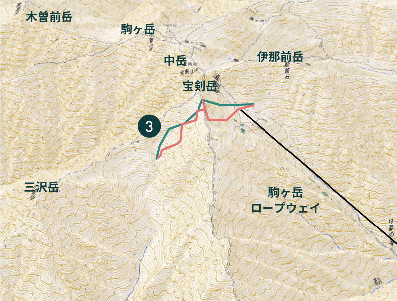
When ascending to Gokurakudaira, be cautious of avalanches. The slope leading down to the headwaters of the Inagawa River is commonly known as Nishi-Senjojiki, and you can ski down while catching glimpses of Mt. Sannosawadake and Mt. Ontake. It is a wide and pleasant run, but past 2,500 meters, there are spots where the stream bed becomes visible. Also, be careful not to ski too far down, as it will result in a long walk back. Since the Ninosa-zawa slope leading down to Senjōjiki is quite steep, we recommend the route from Gokuraku-daira to Senjōjiki for those concerned about snow conditions or their skiing ability.

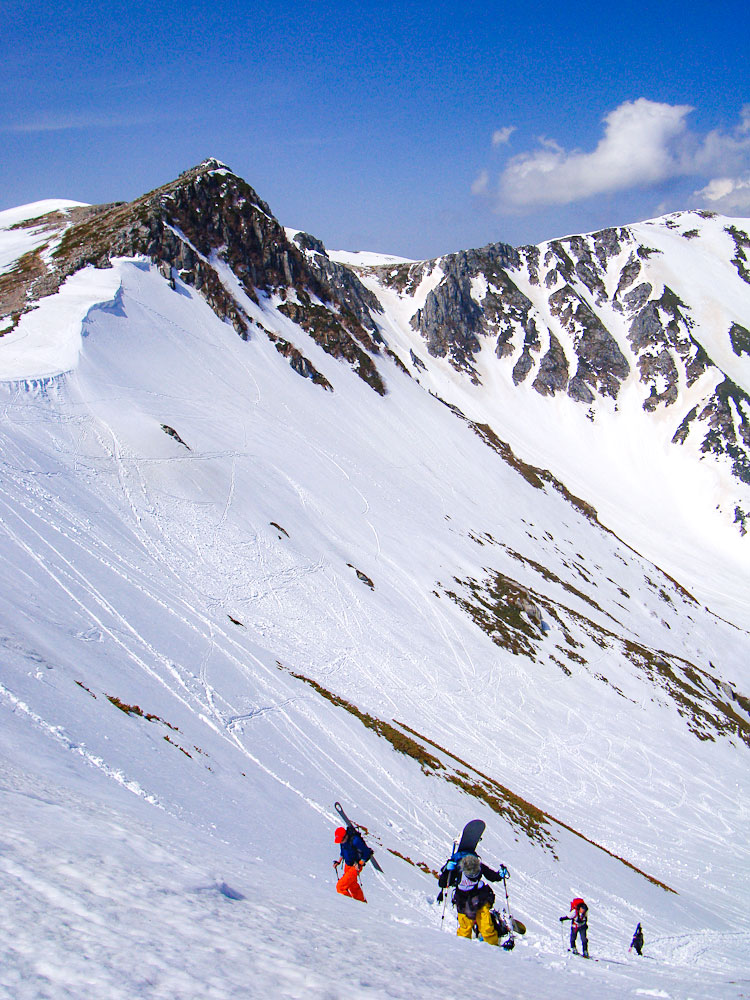
Senjojiki Ski Resort is a unique ski area located at an altitude of 2,612 meters. The run down from the ridge is a course suitable for intermediate to advanced skiers (800 meters in length, with a maximum gradient of 30 degrees), but reaching the top requires a hike of approximately 800 meters. (Estimated time: about 1 hour)
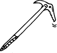
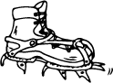
The hike requires appropriate skills and equipment (crampons, ice axes, etc.). Hiking up without the necessary skills and equipment is extremely dangerous. Additionally, please be mindful of your surroundings while skiing and take every precaution to avoid collisions with other hikers. All activities, including hiking and skiing, in mountainous areas are undertaken at your own risk. Please understand that this is a high-altitude environment; avoid pushing yourself beyond your physical and technical limits, and enjoy a safe and pleasant hiking and skiing experience.